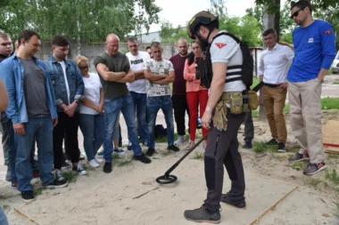
How to become deminer?
FSD’s deminers come from all walks of life: farmers, teachers, IT specialists and many others. Many have had their lives...
Filtrer

FSD’s deminers come from all walks of life: farmers, teachers, IT specialists and many others. Many have had their lives...
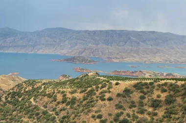
In the world, nearly one in three countries remains contaminated by landmines and explosive remnants of war, particularly across much of South-East...
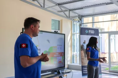
Faced with this reality, FSD — with the support of Switzerland — is working on two fronts: clearing land today,...
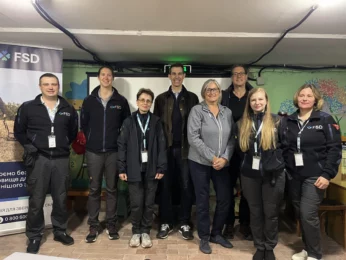
Author: Catherine André, FSD Board Member Report on a visit to Ukraine with FSD (Fondation suisse de déminage) When you...
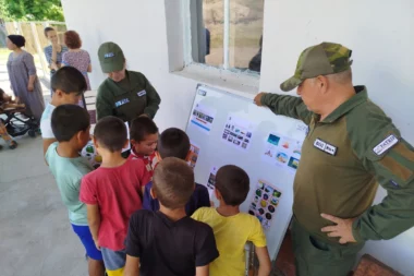
In the villages of Shurob and Chorkuh, in northern Tajikistan, the scars of civil war and regional tensions are still...
More than 300 inhabitants, including about 60 children, were locked up for almost a month in a basement last March....
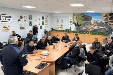
The aim of the programme is to train participants in humanitarian demining techniques adapted to their health conditions, such as...
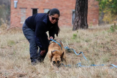
These Malinois and German Shepherds, with their exceptional sense of smell, are currently acclimatising with their handlers to adjust to their...
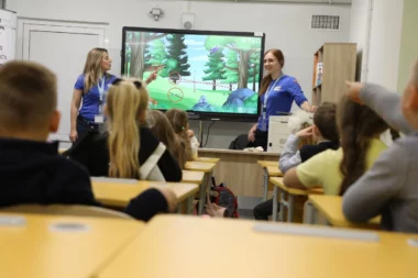
While almost one in three countries in the world is contaminated by landmines and explosive remnants of war, thousands of...
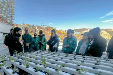
In response to this situation, FSD first launched an assistance project for mine victims, before extending its support to victims...
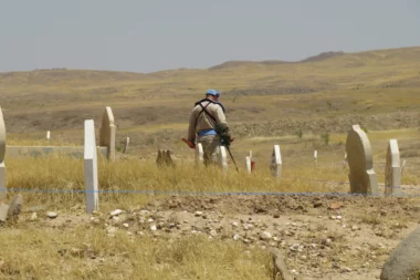
Today, Kubaiba is once again at peace. Although the village has not yet regained its original population of 2500, inhabitants...
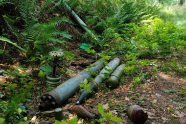
Humanitarian demining is essential to clear the soil of explosive-related contaminants, and to enable the restoration of ecosystems. In all...
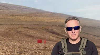
Dear Reader, My name is Chris Hunter and I’ve been part of FSD’s team in Iraq for several years. As...
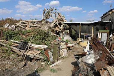
Kamianka, a rustic settlement in Ukraine’s east, experienced brutal fighting during the summer of 2022. Following months of fierce combat,...
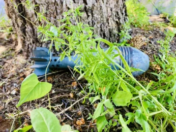
This is regularly illustrated by press reports of accidental explosions or discoveries of devices dating from the First and Second...

At the time, Hnfna was unaware that she was entering a minefield, an omnipresent danger in the vicinity of her...

Polina, Nastia, and Sophia are between 8 and 9. They live in a village located in the province of Chernihiv,...
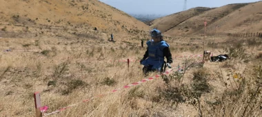
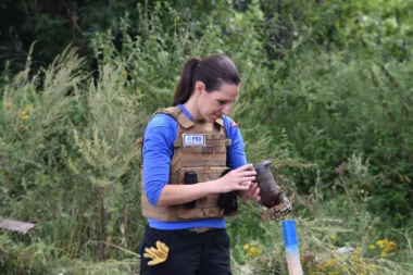
Iskandarova is a deminer in the team deployed last month by FSD to a remote and mountainous area of Tajikistan....

Author: Markus Schindler The air is thick with tension as the sun begins to set. A small group of soldiers...
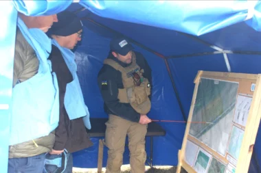
With the arrival of a warmer weather, the number of accidents is likely to increase. FSD has drastically increased its...
The story begins in the Swiss city of Fribourg. In the 1990s, millions of people saw on their TV screens images...
After months of practical training, SHO staff now have the necessary skills to carry out all stages of the demining...
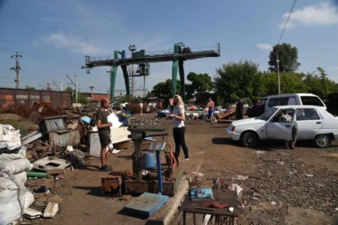
One day someone brought me an old bucket full of scrap metal,” says Vladimir, owner of a metal collection centre...

High up in the religious hierarchy in western Mindanao, he takes advantage of his visits to the various religious congregations...
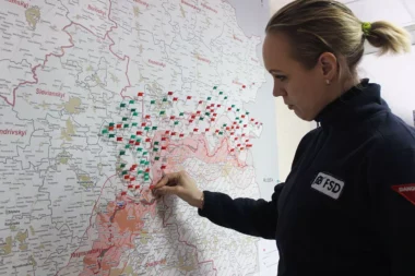
An internal survey conducted among FSD’s female Iraqi staff last month shows how this new career impacts their family life...
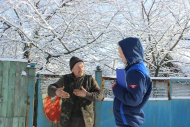
As the festive season approaches, FSD teams are taking measures to adapt to these conditions in order to continue, where...
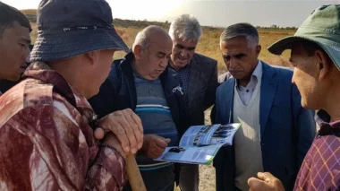
Old stocks of pesticides have leached into soils and rivers and threaten the health of Tajiks. FSD has made good...
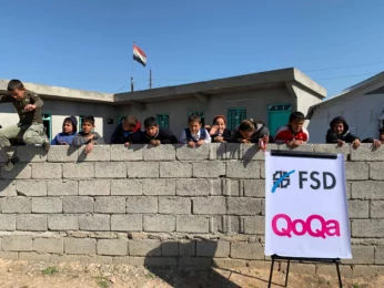
Occupied between 2014 and 2016 by ISIS, it was studded with improvised explosive devices and unexploded ordnance. Now that their...

The shepherd was no longer able to provide for his family. In 2018, thanks to FSD’s support, Rahmi Ali was...
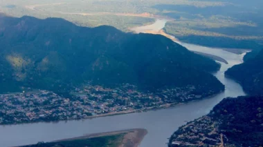
Located in the intertropical zone of the American continent, crossed by the Andes Cordillera and bounded by the Pacific Ocean...