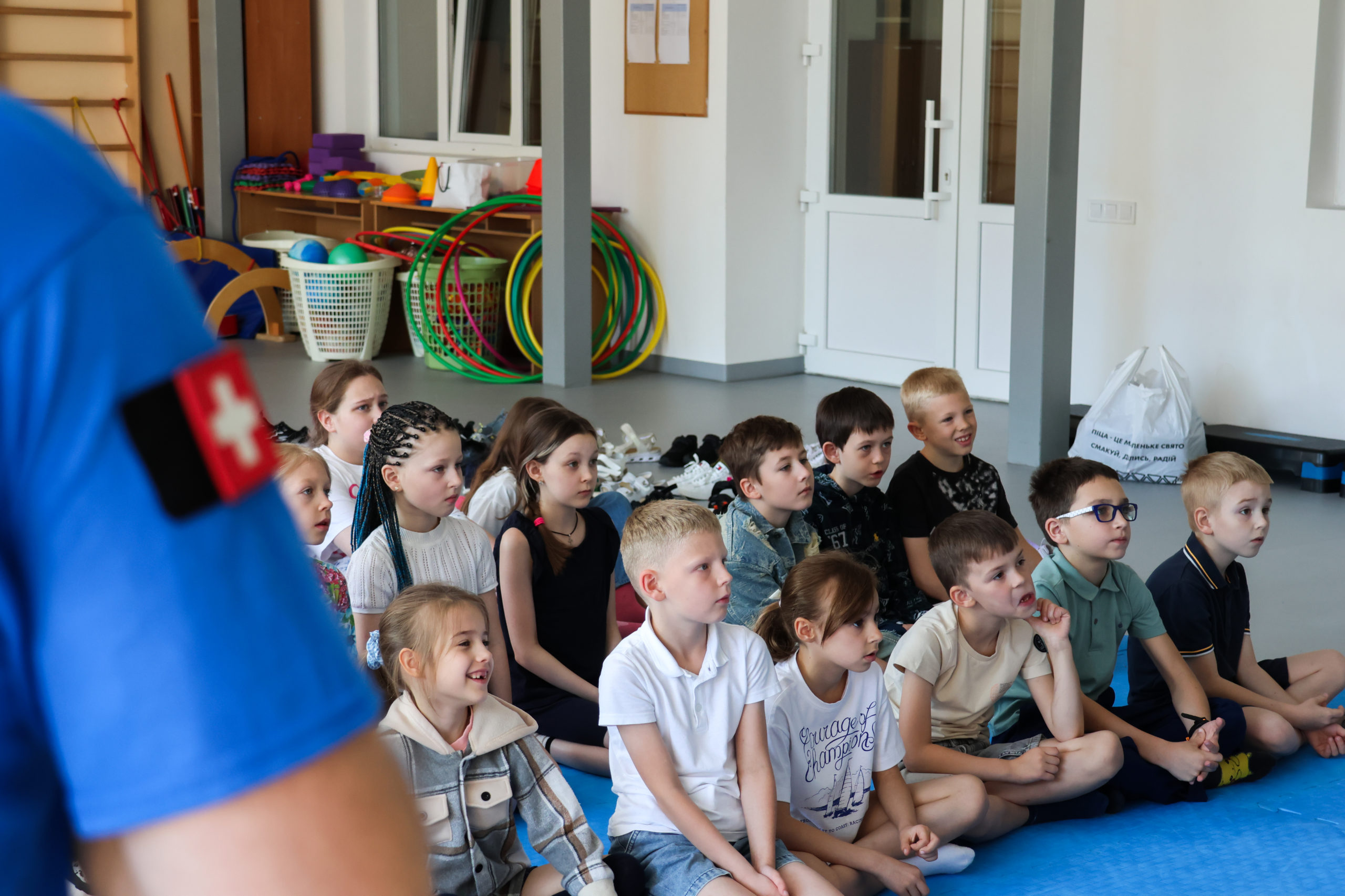
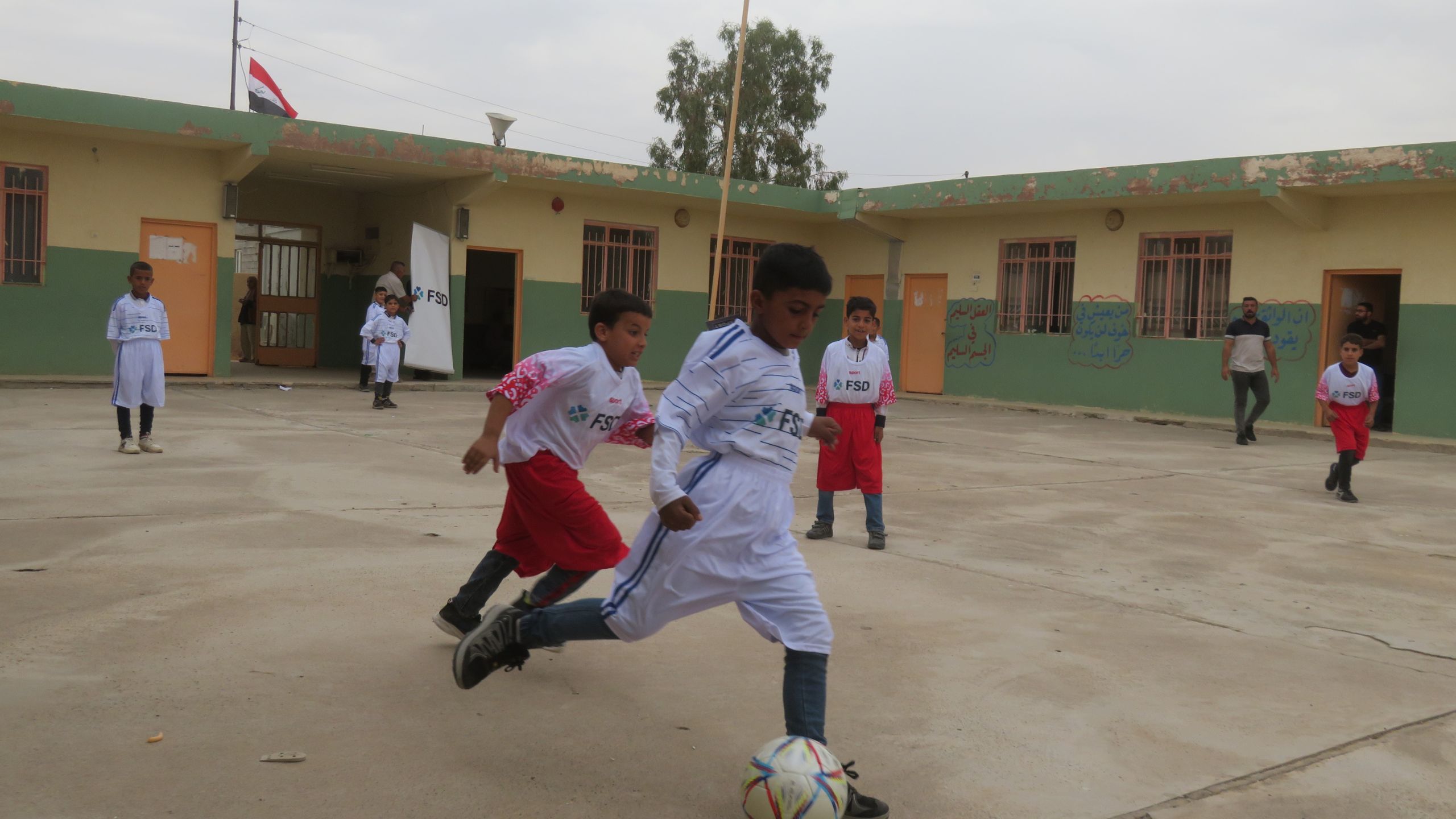
FSD Logo - White

For deminers to be able to remove mines and unexploded ordnance from the ground as soon as possible, it is essential to provide them with precise knowledge of the area they are about to clear. This is the work of our non-technical survey teams, who intervene prior to mine clearance operations. They are looking for evidence of mines and explosive remnants of war. Sometimes, they find a direct evidence: an explosive ordnance at the surface, a crater, animal remains… And sometimes they have to dig a little deeper to find evidence.

> A DETECTIVE WORK

At the start of their investigation, the survey teams draw up an action plan and prepare for their visit to the site. They analyse the satellite images, maps, incident reports and other available data. 

Then, the teams deploy to the field to ask questions of key informants. They are at the centre of the investigation: they know the area by heart, have been a victim of an accident or have witnessed the fighting in the area. Questioning them enables the surveyors to pinpoint the location of contaminated areas. By following the indications of their informants, the non-technical survey teams collect further evidence by observing directly or using binoculars and sometimes drones.

Maintaining-a-close-link-with-the-population-is-essential-for-successful-mine-action-operations-Philippines-1024x683-1

A member of the non-technical survey team questions a local resident about the contamination of the area. (The Philippines)

If there is direct evidence of the presence of explosive devices, the area is considered to be a confirmed hazard area. Our teams then mark the surroundings with signs to prevent accidents until clearance operations begin.

An FSD employee collects data on a device in a field. (Ukraine)

FSD teams marking a contaminated area pending the clearance by the deminers. (Ukraine)

In many cases, the task is more complex: contradictions appear, no explosive device or crater is visible at the surface, the area under survey covers a large area, etc. Where there is indirect evidence of the presence of explosive devices, such as productive land not being in use, imprecise statements or accidents where the exact location isn’t known, the area is classified as a suspected hazardous area. 

The use of new technologies such as drones and increasingly powerful satellite imagery are improving survey techniques.

> HOW IS THE EVIDENCE ANALYSED?

Back at their office, the survey teams will complete a survey report based on the information gathered. This includes a map with precise geographical data, the terrain and vegetation type, photos of the explosive devices identified and other information collected. The report is then checked and sent to the national authorities for inclusion in the IMSMA (Information Management System for Mine Action) database. Depending on various factors in the report, such as the proximity of the area to housing, the productivity of the land, the vegetation, etc., the surveyed areas are then classified as mine clearance tasks with a different level of priority. Contaminated areas can be surveyed a number of times, including just before clearance starts if the initial survey was conducted some time ago to determine if the situation on the ground has changed. 

Maps and satellite imagery are used to identify and mark areas potentially contaminated by mines and unexploded ordnance.

Non-technical survey work is essential before clearance operations can start, it identifies hazard areas, helps prioritise them for future clearance and provides the basic information for the deminers to start their work. 

To know more about mine action, explore our Youtube channel! This video follows a building clearance course in Iraq.